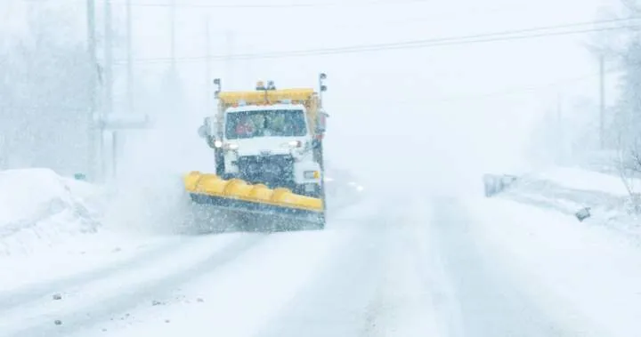
What Happened
A fast-moving snowstorm is currently impacting Ontario, leading to significant road closures and hazardous travel conditions. Major stretches of northern roads have been shut down, with over 500 kilometers of highway closed northeast of Thunder Bay, as reported by Ontario Provincial Police. The storm is expected to bring 15 to 25 centimeters of snow to Lake Superior’s north shore and 5 to 10 centimeters across southern Ontario, particularly affecting the Wednesday morning commute.
Why It Matters
The winter storm warning has prompted Environment Canada to issue special weather statements for several areas, including Sault Ste. Marie, Barrie, and the Greater Toronto Area. The storm’s impact is compounded by additional snow squalls anticipated in regions off Lake Huron. In Prince Edward Island, significant snowfall and strong winds have led to school closures and travel disruptions, while Nova Scotia is experiencing heavy snow and hazardous winds, with up to 50 centimeters of snow expected in some areas.
What’s Next
As the storm progresses, residents are advised to prepare for continued adverse weather conditions. Snow-clearing efforts are underway in Nova Scotia, where schools have been closed to ensure safety. In P.E.I., light snow is expected to follow the current system, but it will not be as severe. Authorities are urging the public to avoid non-essential travel and stay updated on weather alerts as conditions evolve.