What Happened
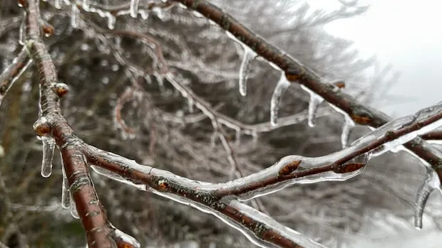
According to recent reports, a significant cold air dome is firmly established over the Canadian Prairies, while warmer conditions prevail in the southern United States. This combination is expected to create an active precipitation corridor stretching from the Gulf of Mexico to Ontario and Quebec.
Why It Matters
André Monette, a meteorologist, notes that this weather pattern will likely result in above-normal precipitation for much of Quebec, with the exception of areas east of Rimouski and in Northern Quebec. Furthermore, it is anticipated that the region could receive substantial snowfall, with predictions suggesting that the southern part of Quebec may see up to 50 cm of snow, central areas up to 75 cm, and eastern regions potentially up to 100 cm. This forecast indicates that residents should not prematurely store away their snow shovels.
What’s Next
As the season progresses, the trajectory of the weather systems suggests that significant snowfall may still occur, particularly in the first half of the season. Historical references to past spring storms, such as the infamous “storm of the century” in March 1971, highlight the potential for severe weather conditions in the coming weeks.