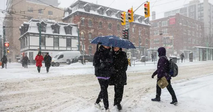
Winter storms have historically impacted travel and weather conditions in Canada and the Midwest. Currently, winter storm warnings are in effect for every province in Canada except Saskatchewan and Manitoba. Central and western British Columbia are under yellow alert snowfall warnings, with expectations of 10 to 15 centimetres of snow in most locations, and some areas potentially receiving up to 40 centimetres.
An orange alert winter storm warning is also in effect for central Ontario communities, including Sault Ste. Marie, Sudbury, and Kapuskasing, where snowfall and ice pellets are expected to accumulate between 10 to 20 centimetres.
In the Upper Midwest, blizzard conditions are reported from Minnesota and Iowa to Wisconsin and northern Michigan. Wausau, Wisconsin, recorded a staggering 23.4 inches of snow, setting an all-time record for a single day. Green Bay, Wisconsin, also experienced significant snowfall, with 17.1 inches recorded.
Travel conditions are deteriorating rapidly, with hazardous travel conditions leading to highway closures in northeastern Ontario. Environment Canada has warned that “travel will likely be extremely hazardous and some routes will likely be impassable.” In response to the severe weather, Sudbury police are urging residents to remain at home and stay off the roadways until further notice.
Additionally, southern and central New Brunswick are expecting 20 to 40 millimetres of rain, accompanied by strong wind gusts of up to 60 km/h in New Brunswick and 70 km/h in Nova Scotia. Alberta is also bracing for extreme cold, with wind chills expected to reach -40°C.
As the storm continues to develop, officials are closely monitoring conditions and advising the public to stay informed about the latest weather updates. Details remain unconfirmed regarding the full extent of the storm’s impact, but the situation is evolving rapidly.