Weather Conditions Before the Shift
Prior to the latest forecasts, residents of Southern Alberta and Eastern Ontario were anticipating relatively mild weather conditions. However, a strong low-pressure system was brewing over British Columbia, which was expected to impact weather across Alberta and Saskatchewan significantly.
Decisive Changes in the Forecast
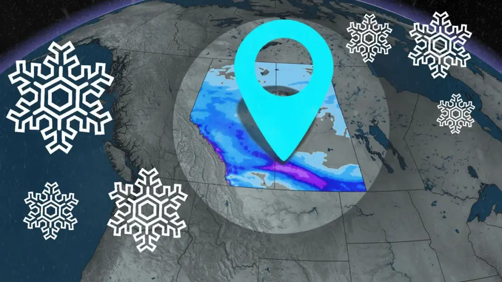
As of March 11, 2026, the weather network reports that parts of Southern Alberta and Southern Saskatchewan are now expected to receive between 10-20 cm of significant snowfall through Thursday and Friday. In Calgary, snowfall is projected to reach 5-10 cm. This marks a stark contrast to the previously anticipated mild weather.
In Eastern Ontario, freezing rain warnings have been issued by Environment and Climate Change Canada, particularly affecting areas from Georgian Bay to the Ottawa Valley. Freezing rain began early Wednesday and is expected to persist throughout the day, with ice accretion of 10-20 mm anticipated, and localized amounts exceeding 20 mm.
Immediate Effects on Travel and Safety
The heavy snowfall and freezing rain are expected to significantly reduce visibility along major highways, including the Trans-Canada Highway. This poses a serious risk to travelers and could lead to hazardous driving conditions. Southeastern Lake Superior and nearby areas, including Timmins and Sudbury, are also forecasted to receive 10-25 cm of snow, further complicating travel plans.
Expert Perspectives on the Shift
Experts emphasize the importance of being prepared for these sudden weather changes. The combination of heavy snow and freezing rain can lead to dangerous conditions, and residents are advised to stay informed through reliable sources such as the weather network. The situation underscores the unpredictable nature of weather patterns, particularly in the spring months.
Details remain unconfirmed regarding the full extent of the weather impacts, but the immediate forecasts indicate a significant shift that residents must heed.